In order to ensure New Zealand’s towns and cities are well-functioning urban environments that meet the changing needs of our diverse communities, the National Policy Statement on Urban Development
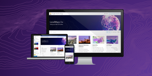
LocalMaps 3.x is the next generation capability that will take your Web GIS even further. Today we are pleased to release the first component for 3.x for users to get stuck into.
It is with great pleasure that Eagle Technology announces Reuben Painter of the University OfCanterbury, New Zealand as the Winner of the New Zealand Esri Young
If “The application of GIS is limited only by the imagination of those who use it”. Jack Dangermond, Esri then our tertiary education institutions are the prime location to do explore and imagine with GIS.
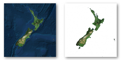
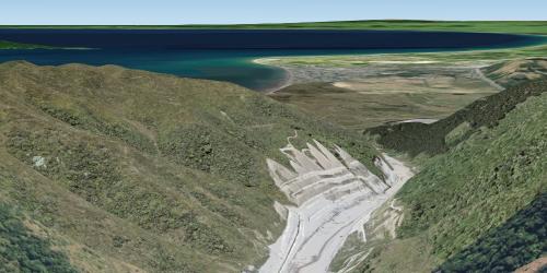
With the NZ National Elevation Programme providing more and more freely available LiDAR data for NZ, we wanted to hear about some of the great ways in which you are using this treasure trove of data along with ArcGIS to solve issues of all kinds, all scales and all across New Zealand.
So, to help gather these stories, we are asking you to tell us about your work based upon the newly available LiDAR data as well as derived data sources such as Eagle Technology's Elevation WebService which incorporates this data.
 Feed
Feed