With the move to virtual for this year's NZ Esri User Conference (NZEUC), we chose to split the whole-day sessions into a plenary 1/2 day followed by 4 separate stream webinars over the 2 following weeks. While we are missing out on the face-to-face connections of the in-person events, going virtual has allowed these events to be open to all and as a result we have had well over 1000 registered participants for the few first events.
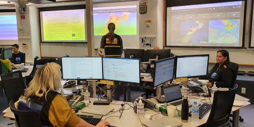
GIS has become integral to managing emergencies in New Zealand. This includes many Emergency Management-focussed organisations who use and embed it within their intelligence processes to collect, store, analyse and display information for decision-making before, during, and after events.
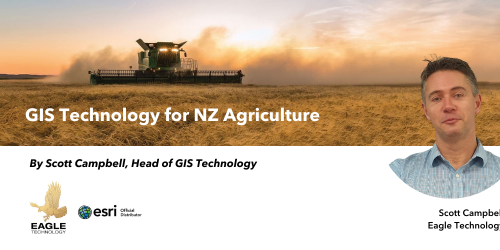
Agriculture is one of New Zealand’s leading industries, employing thousands of people and contributing to a significant portion of the country’s overseas trade.
A great big thank you to all of you who contributed, organised, and joined us for the recent 2021 Virtual Regional User Conference Events from the NZ Esri User Group (N
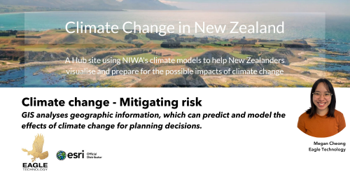
"NIWA uses GIS to map and interpret modeled climate change projections over New Zealand and provides these to a range of end-users, for example, regional councils, industry, and other researche
 Feed
Feed