Geographic Information Systems (GIS) provide real world solutions to real world problems by integrating hardware, software, and data for capturing, managing, analysing and displaying all forms of g
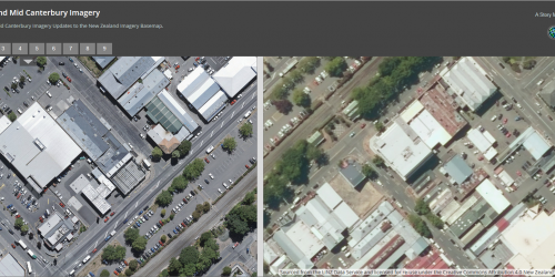
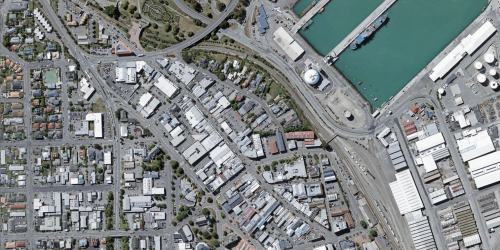
It's that time of year when everyone's minds turn to...GIS Basemaps! So, to round out the year we thought we’d give you a quick update on where we are with the super popular Eagle Basemaps.
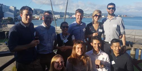
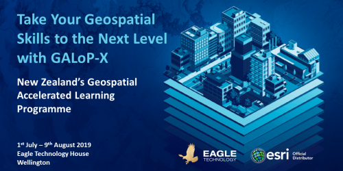
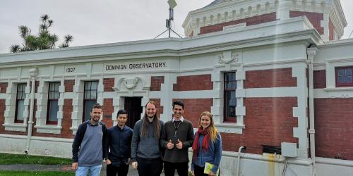
Following the success of this year's Geospatial Accelerated Learning programme (GALoP), Eagle is excited to announce that we are now taking applications for our new condensed GALoP-X
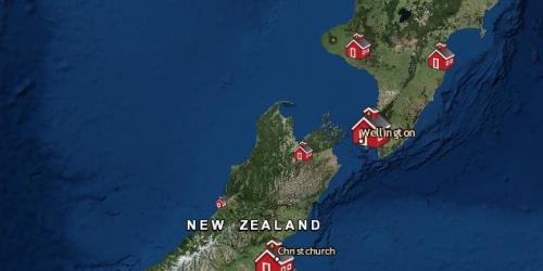
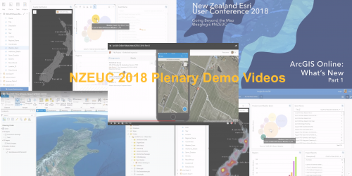
It has now been a couple of months since the geospatial event of the year - The NZ Esri User Conference - and we know there was a lot to take in at the time. So, we had an idea...
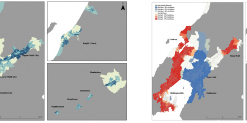
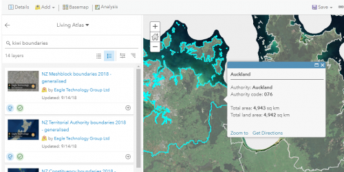
The ArcGIS Living Atlas of the World is a collection of thousands of curated authoritative maps, intelligent map layers, imagery, tools and apps built by ArcGIS users worldwide, by Esri and Eagle a
 Feed
Feed